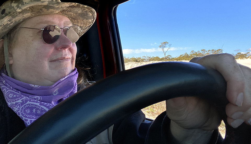
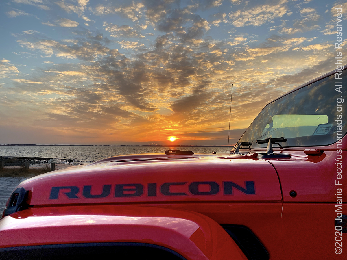
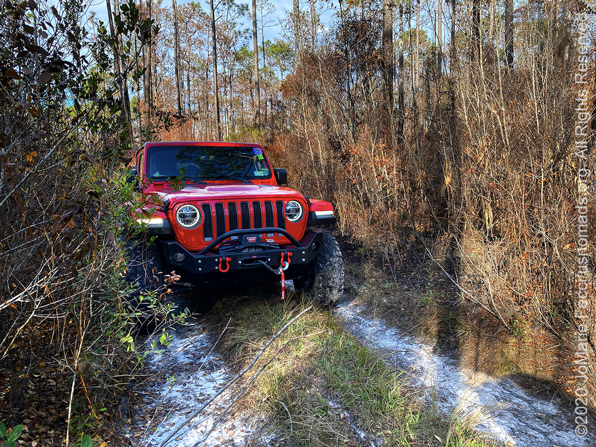
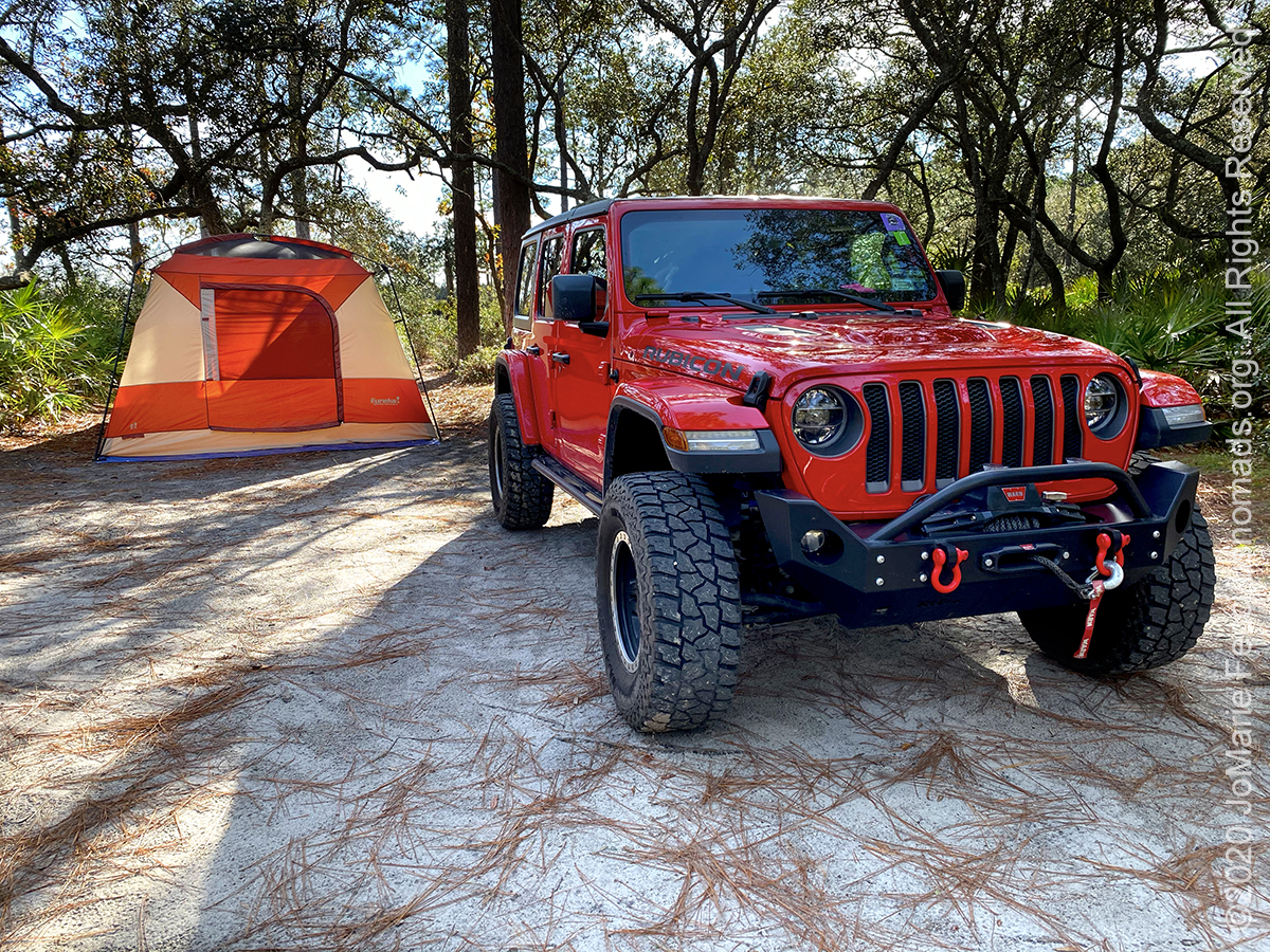
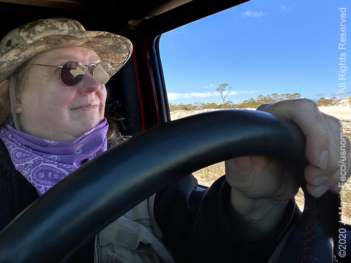
A three-week 3,500+ mile journey from New York to Florida and back, focusing on exploration in Northern Florida around the panhandle, the Ocala National Forest and the Atlantic coast near St. Augustine. We took the coastal route down, via the Cape May Ferry with a pause to check out Assateague Island before turning inland and making a bee-line south to the Okefenokee Swamp on the Georgia-Florida border where we slowed down and began the overland camping segment of this adventure. The journey was made in our 2019 Jeep Wrangler Rubicon and focused on exploring the more pristine wilderness areas of this section of Florida. Follow the links below for field notes from each day of the journey.


Assateague Island National Seashore
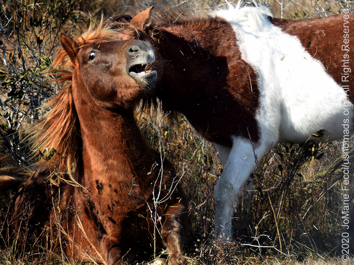
The Assateague Island National Seashore, managed by the National Park Service, stretches for 37 miles along the Atlantic coasts of Maryland and Virginia and is part of a vast chain of barrier islands extending from Maine to Texas. Barrier islands form when offshore sand deposits accumulate sufficiently to break the water surface or when sea level rise causes inland dunes to become separated from the mainland. These islands are highly dynamic constantly reshaped by storms and currents that transport sand south along the coast throughout the year. On a seasonal basis, harsh winter weather pulls sand from dunes and upper beaches, depositing it into offshore sand bars and reducing beach width. This process is reversed during milder summer weather, as gentler wave action acts to restore the shoreline. Assateague is also moving westward as a result of sea-level rise and the force of the surf through a process called “island rollover.” During severe storm events, sand is eroded from the ocean beaches and carried across the island by flood waters and re-deposited in marshes along the western shore, steadily narrowing the bay that separates the island from the mainland. These events can break through dunes, spilling sand in fanlike deposits or even carving inlets, such as the one that has separated Assateague and Ocean City since 1933. Long shore currents will eventually deposit sediments and close these gaps unless, like the Ocean City inlet, it is maintained with jetties and dredging. Assateague’s terrain includes sandy beaches, salt marshes, maritime forests and coastal bays connected via a series of small bridges and causeways. Assateague is most famous for its resident Wild Ponies. Local legend has it that the ponies escaped from a shipwrecked Spanish galleon and swam to shore. However, historians believe that in the 17th century, settlers used the island for livestock to avoid fencing regulations and taxation. Even though no one is certain how the ponies got to the island, their descendants still live there today …
Okefenokee National Wildlife Refuge
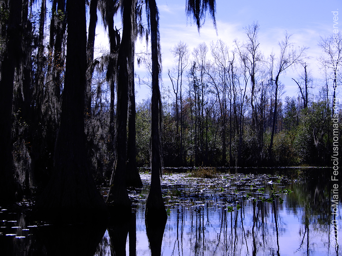
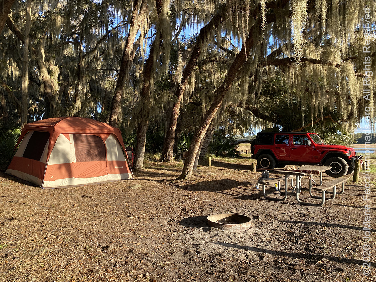
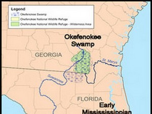 The Okefenokee National Wildlife Refugee conserves the unique qualities of the swamp, protecting and enhancing the wildlife and its habitat to ensure the integrity of the ecological system. The Refuge also sees part of its mission as embracing the grandeur, mystery, and cultural heritage of the area. Native Americans inhabited the swamp for centuries and coined the term “Okefenokee” which means “land that trembles when you walk on it.” The swamp is thought to be 6,000-8,000 years old. It is contained in a saucer-shaped depression that drains toward the south and southwest. Drainage from the swamp forms the headwaters for the St. Marys River and the Suwannee River. Habitats provide for threatened and endangered species, such as red-cockaded woodpecker, wood storks, indigo snakes, and a wide variety of other wildlife species. It is world renowned for its amphibian populations that are bio-indicators of global health. More than 600 plant species have been identified on refuge lands. The Swamp survived an attempt at draining in the late 1800’s and was logged extensively in the early 1900’s before becoming a refuge in 1937 by declaration of Franklin D. Roosevelt. The refuge has 353,981 acres of National Wilderness Area within its boundaries and is a Wetland of International Importance (RAMSAR Convention – 1971) because it is one of the world’s largest intact freshwater ecosystems…
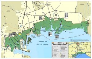
Apalachicola National Forest
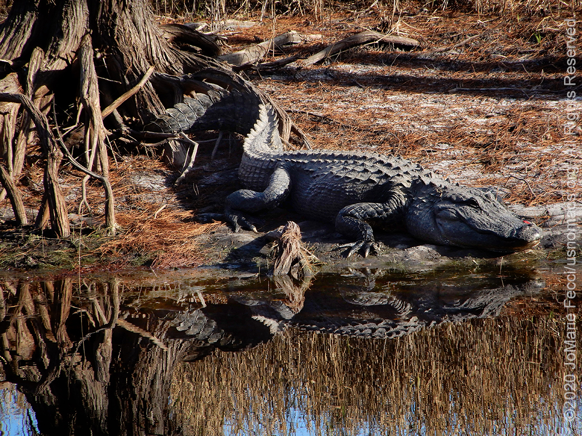
The Apalachicola National Forest is the largest U.S. National Forest in the state of Florida. It encompasses 632,890 acres and is the only national forest located in the Florida Panhandle. The National Forest provides water and land-based outdoors activities such as off-road biking, hiking, swimming, boating, hunting, fishing, horse-back riding, and off-roading. The Apalachicola National Forest is in the southeastern conifer forests ecoregion. Areas of the national forest with dry, sandy soils support Florida longleaf pine sandhills and east Gulf coastal plain near-coast pine flatwoods. Sandhills are woodlands dominated by longleaf pine. Pine flatwoods are forests and woodlands on broad, sandy flatlands. Both of these pine communities are sustained by frequent fires. Near the floodplains of spring-fed rivers grow southern coastal plain hydric hammocks, dense forests of evergreen and deciduous hardwood trees. Blackwater rivers support southern coastal plain blackwater river floodplain forests of baldcypress along their banks. Major rivers support diverse east Gulf coastal plain large river floodplain forests. Notable animals that inhabit this forest are red-cockaded woodpecker, fox squirrel, red fox, raccoon, gray fox, bobcat, coyote, black bear, wild turkey and alligator. It is also home to several wetland plant communities. Southern coastal plain nonriverine basin swamps are large, seasonally flooded depressions of baldcypress and swamp tupelo. East Gulf coastal plain savannas and wet prairies are low, flat plains covered in grasses and sedges, which are seasonally flooded and maintained by frequent fires. The Forest contains thousands of acres of old growth Pond Cypress swamps (cypress domes). Apalachicola National Forest contains two specific Wilderness Areas: Bradwell Bay Wilderness and Mud Swamp/New River Wilderness…
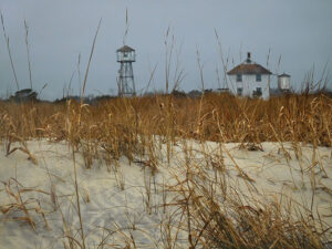
St. George Island
St. George is a barrier island 28 miles long and 1 mile wide at its widest point. Composed of mostly sand dunes with sea oats and pine trees, the island is connected to the mainland at Eastpoint, Florida by the 4-mile long St. George Island Bridge over Apalachicola Bay. St. George Island is informally divided into three regions: the Dr. Julian G. Bruce St. George Island State Park; a public strip of restaurants, bars, small businesses, homes and public beach; and a private, gated housing community with its own airstrip that includes some of the most expensive multimillion-dollar beach homes along the Gulf of Mexico. The island is known for being quiet and tranquil due to its small size. The State Park occupies the eastern nine miles of the island and has a series of hiking trails, boardwalks and observation platforms, as well as beach access. St. George Island was first inhabited by the Muscogee people between the 10th and 15th centuries. With the arrival of European colonists to the area in the late 18th century came an intense struggle for control. In 1803, the Creek Indians ceded a large tract of land, which included St. George Island, to trader John Forbes and Company, known as the Forbes Grant. In 1823 John Lee Williams sought refuge there. With a shortage of food supplies, his crew depended on the island’s ample store of oysters and crabs. Soon afterwards, the island experienced a surge in trading activities especially along the banks of the Apalachicola River. This led to the construction of the Cape St. George Lighthouse on the island in 1833. The lighthouse was torn down and rebuilt two miles away in 1847–48, and rebuilt after being destroyed by a hurricane in 1851. It was taken out of service during the American Civil War, but afterwards served as a navigational tool for incoming ships until it was decommissioned in 1994. Hurricanes in 1995 and 1998 undermined the tower. A new foundation was built under the tower, but it collapsed in 2005. The lighthouse has since been reconstructed…
St. Marks National Wildlife Refuge
The St. Marks National Wildlife Refuge was established in 1931 to provide wintering habitat for migratory birds. It is one of the oldest refuges in the National Wildlife Refuge System. It encompasses over 80,000 acres spread out between Wakulla, Jefferson, and Taylor counties, and includes about 43 miles along the Gulf Coast of northwest Florida. It is part of the North Florida Refuges Complex. The refuge includes coastal marshes, islands, tidal creeks and estuaries of seven north Florida rivers, and is home to a diverse community of plant and animal life. The refuge also has strong ties to a rich cultural past, and is home to the St. Marks Lighthouse, which was built in 1842 (current tower) and is still in use today. …
Vilano Beach

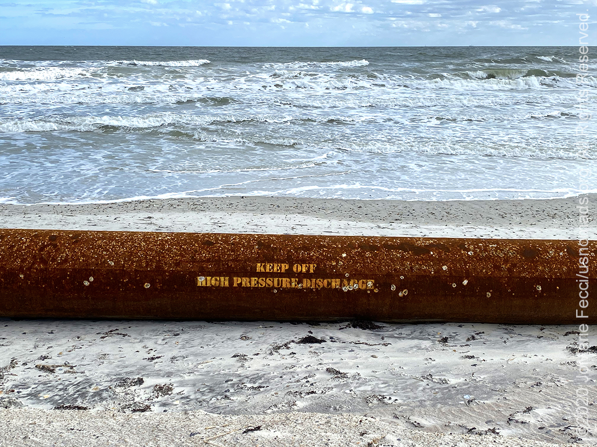
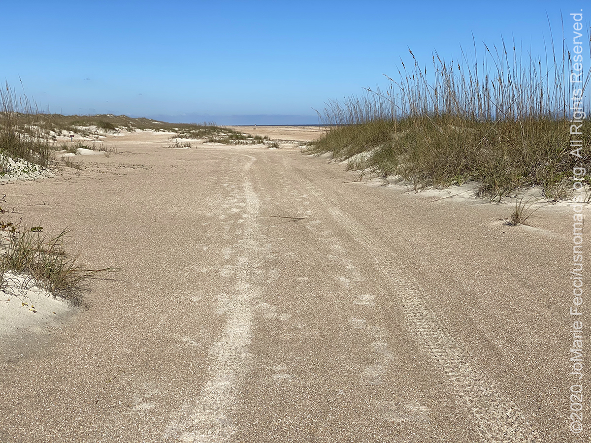
Vilano Beach is one of St. Augustine’s best-kept secrets. Going for a stroll on the beach is a favorite activity and visitors can enjoy both sunrises and sunsets there. Located just north of downtown St. Augustine’s historic district, on the north side of the Matanzas Inlet, the town of Vilano Beach is a charming surprise. The beach has a steep drop-off, heavier surf, and a strong current due to its location near the inlet, which makes it ideal for surfing (when the tide is coming in) and skimboarding. four-wheel-drive beach access is offered via the Porpoise Point access ramp. Vehicle access in Vilano Beach is restricted to four-wheel-drive vehicles, and may be unavailable on occasion depending on the condition of the sand. A nominal access fee is charged from March 1 through Labor Day to drive on the beach. Rules for driving on the beach are clearly posted and are strictly enforced for the safety of beach goers. For more information on vehicle access to the beach see the county’s Beach Driving webpage …
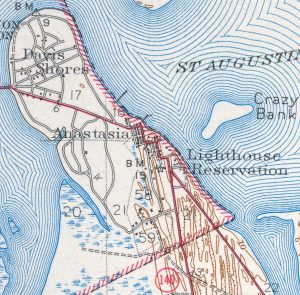
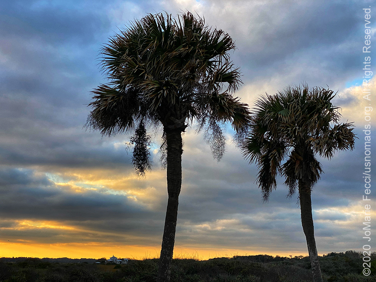
Anastasia Island is a barrier island located off the northeast Atlantic coast of Florida. It sits east of St. Augustine, running north–south in a slightly southeastern direction to Matanzas Inlet. The island is about 14 miles long and an average of 1 mile in width. It is separated from the mainland by the Matanzas River, part of the Intracoastal waterway. Juan Ponce de León may have landed on the barrier island in 1513. Spanish Admiral Pedro Menéndez de Avilés, founder of St. Augustine, moved his initial settlement to Anastasia Island after a revolt by the Timucuan Indians in 1566. This settlement was short-lived, and the colonists moved back to the mainland at the site of present-day downtown St. Augustine. The Spanish built a wooden watch-tower on the northern end of Anastasia Island to warn the town of approaching vessels by raising signal flags. The Spanish eventually replaced the tower with a coquina structure that was converted into a lighthouse soon after Florida came into the possession of the United States in 1821. Beneath the sandy soil of most of the island lie layers of coquina, a shelly rock in various stages of consolidation. This rock is composed primarily of whole and fragmented shells of the donax, or coquina, clam admixed occasionally with scattered fossils of various marine vertebrates, including sharks’ and rays’ teeth. This deposition is known as the Anastasia Formation, and was formed during the Late Pleistocene epoch, in the period of successive glacial ages from about 110,000 years to 11,700 years ago. It is the only local natural source of stone, and was quarried by the Spanish and later the British to construct many of the buildings in St. Augustine including the Castillo de San Marcos …
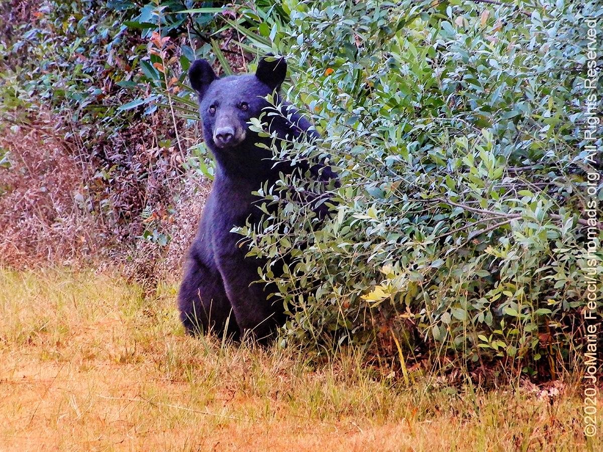
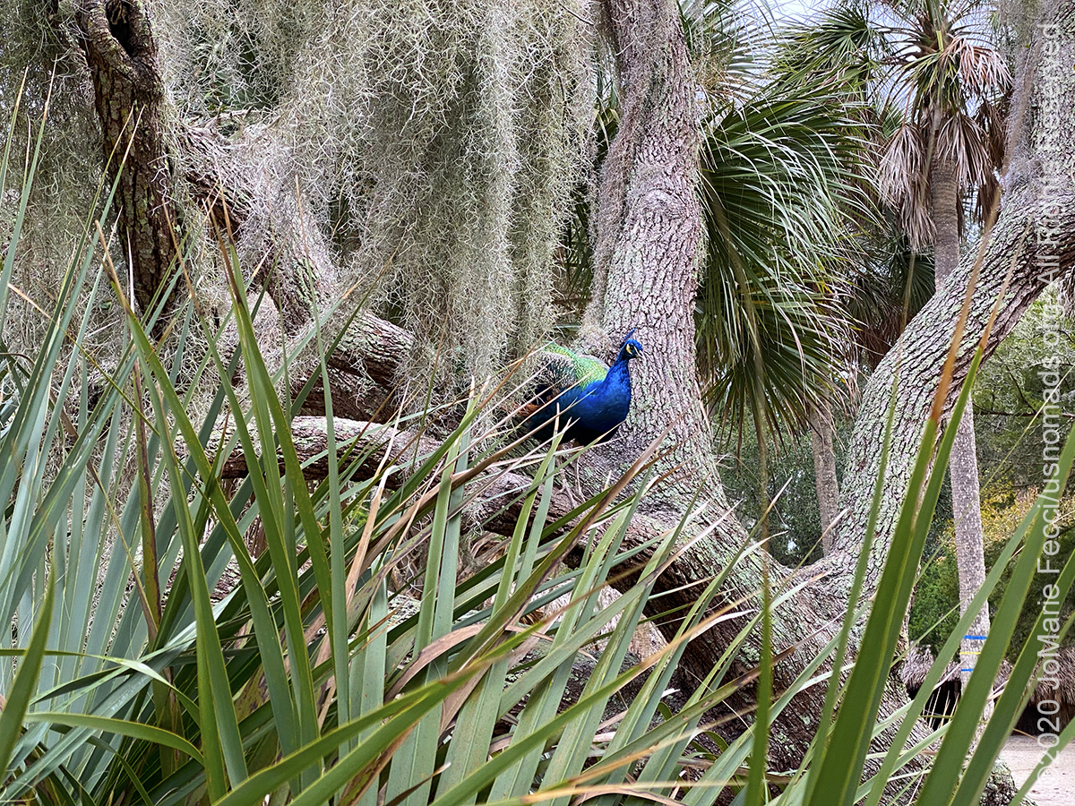
Ocala National Forest
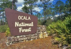
The Ocala National Forest is the southernmost forest in the continental United States and protects the world’s largest contiguous sand pine scrub forest. Located three miles east of Ocala and 16 miles southeast of Gainesville, it covers 607 square miles of Central Florida. The Ocala National Forest was established in 1908 and is the oldest national forest east of the Mississippi River. The word Ocala is thought to be a derivative of a Timucuan term meaning “fair land” or “big hammock”. Dry, sandy areas support Florida longleaf pine sandhills and Florida peninsula inland scrub. Inland scrub consists of sand pines growing amid shrublands of evergreen oaks. The forest contains the largest concentration of sand pine in the world as well as some of the best remaining stands of longleaf pine in central Florida. Where fire is absent, southern coastal plain oak domes and hammocks can grow. These are small stands of thick evergreen oaks. The forest contains several slow-moving rivers and numerous wet “prairies”. The forest’s spring-fed rivers support southern coastal plain hammocks of evergreen and hardwood trees. The prairies are Floridian highlands freshwater marshes. The Ocala Forest is also known for having over 600 natural lakes and ponds. Between the river boundaries of this Forest lie central highlands, coastal lowlands, swamps, springs and hundreds of lakes and ponds. Ocala has a wide variety of wildlife including black bears, alligators, white-tailed deer, wild boar, and numerous small animals, such as squirrels, bats, coyote, gray fox, red fox, opossum, raccoon, river otter, bobcat, skunk, southeastern pocket gopher, and nine-banded armadillo. The United States Navy’s Pinecastle Bombing Range in the Ocala National Forest is the only place on the East Coast where the Navy can do live impact training. The Navy drops nearly 20,000 bombs a year at the site, a few hundred of which are live. F/A-18 Hornet jet fighters and other aircraft take off from Naval Air Station Jacksonville or from aircraft carriers off the Florida coast, fly low over the forest, and drop their bombs in the middle 450 acres of the range. The Navy has used the area for target practice for 50 years under a special use permit from the U.S. Forest Service…