(Part 4)

100 Days Journey: Part 4 – Arizona Interlude
Leaving the wilderness and solitude behind for a little bit and returning to Arizona for some relaxed time in Sedona and some trail time with friends at Table Mesa and around the Phoenix area before heading back to Death Valley later in the month. (Click through the images below for each day’s notes)…

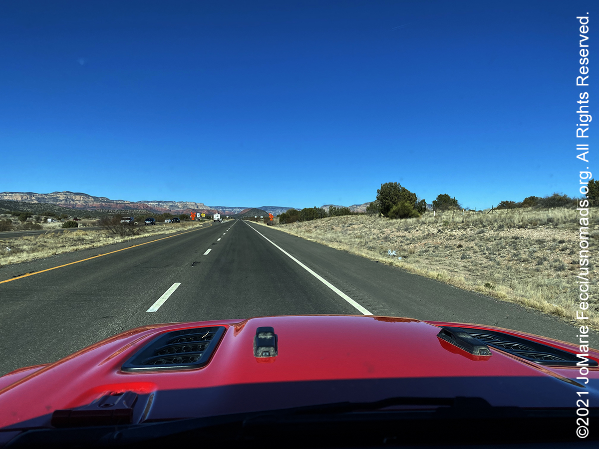


Note this map provides an overview of the fourth segment of the journey–into Arizona along historic Route 66, then down to Sedona, Table Mesa, and the Phoenix area, before returning north back into Nevada and towards Death Valley. The route on this map shows the overall direction of travel and key “stops” but does not include any detailed GPX tracks for backcountry trails, etc…
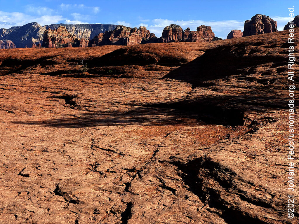
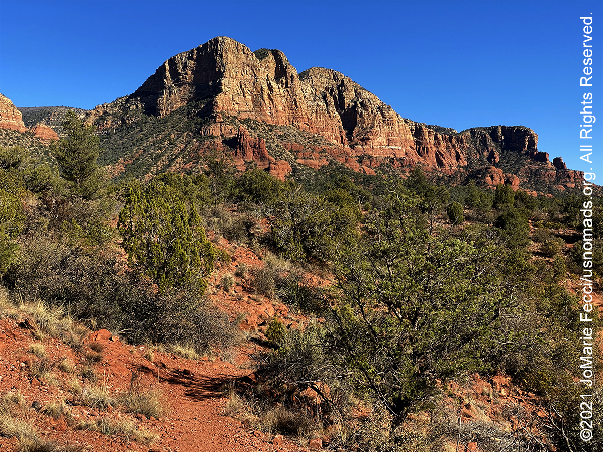
Sedona, number one on USA Weekend’s “Most Beautiful Places in America list,” is surrounded by 1.8 million acres of national forest land, with great jeep trails that wind in and out of a rugged landscape defined by pinnacles, spires, buttes and domes. Sedona’s main attraction is its array of red sandstone formations. The formations appear to glow in brilliant orange and red when illuminated by the rising or setting sun. The red rocks form a popular backdrop for many activities, ranging from spiritual pursuits to the hundreds of hiking and mountain biking trails. Sedona’s red rocks are formed by a unique layer of rock known as the Schnebly Hill Formation. The Schnebly Hill Formation is a thick layer of red to orange-colored sandstone found only in the Sedona vicinity. The sandstone, a member of the Supai Group, was deposited during the Permian Period. The early settlers were farmers and ranchers. John J. Thompson, who moved to Oak Creek Canyon in 1876 is considered the area’s first Anglo settler. In 1902, when the Sedona post office was established, there were 55 residents. In the mid-1950s, the first telephone directory listed 155 names. Some parts of the Sedona area were not electrified until the 1960s. Sedona began to develop as a tourist destination, vacation-home and retirement center in the 1950s. Most of the development seen today was constructed in the 1980s and 1990s. As of 2007, there were no large tracts of undeveloped land remaining. Sedona has played host to more than sixty Hollywood productions from the first years of movies into the 1970s. Stretching as far back as 1923, Sedona’s red rocks were a fixture in major Hollywood productions—including films such as “Angel and the Badman,” “Desert Fury,” “Blood on the Moon,” “Johnny Guitar,” “The Last Wagon,” and “3:10 to Yuma.”
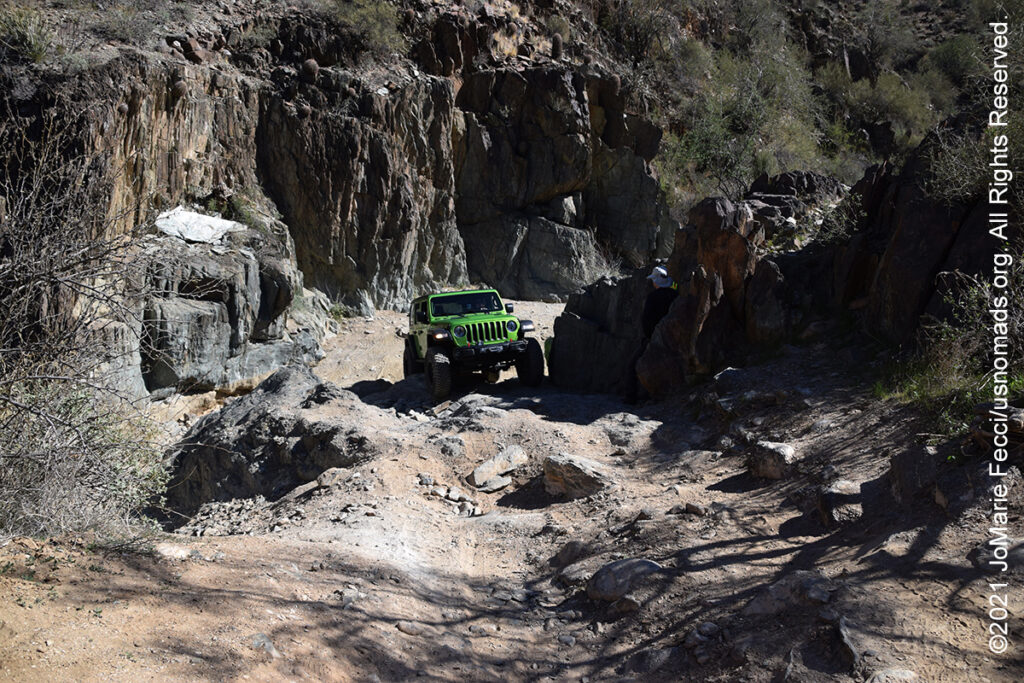
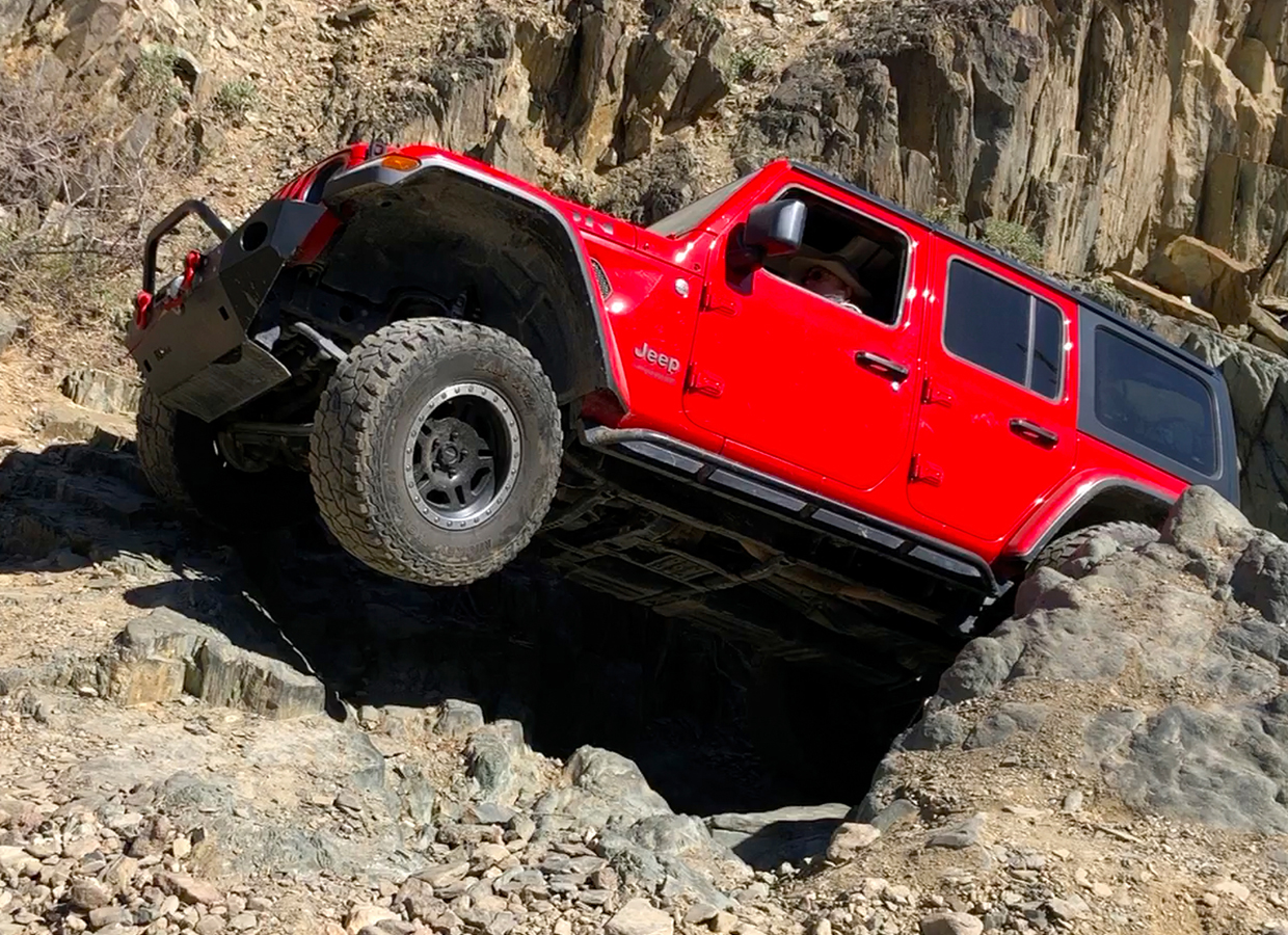
The Table Mesa trails lie just north of Phoenix metro near the foothills of the Bradshaw Mountains. This area started to be known as a rockcrawling destination in the late 1990s, and it remains popular to this day. Like many rockcrawling places in the Sonoran Desert, trails consist largely of sandy washes with boulders and waterfall ledges. Some years back, the Bureau of Land Management (BLM) created a public use plan for this area, dividing portions up for use by off-roaders, mountain bikers, hikers, and target shooters. Now, there are a handful of legal trails in the area designated by BLM as Technical Vehicle trails. These trails are marked with a special prefix “TV,” which stands for “Technical Vehicle.” One of the more popular technical trails is “Terminator”, which has two parts, lower TV-2 and upper TV-3. These trails are typically run one way and the Table Mesa area is well marked. The trails are difficult through a narrow, rocky wash with tight turns and huge obstacles. Winch, lockers, and 35″ tires are recommended. Experienced drivers only.
Bulldog Canyon, located in the Mesa Ranger District of the Tonto National Forest, is 34,000 acres and provides approximately 20 miles of open routes for motorized recreation. It is a popular dispersed camping destination for off-roading. Bulldog Canyon routes are all full-size vehicle width and provide access to the beautiful Sonoran desert and Goldfield Mountains. There are six access points: Blue Point, Usery, Wolverine, Hackamore, Dutchman and Willow. A Tonto Motorized Vehicle Use Permit is currently required for this area, available at Recreation.gov. Please remember to stay on the routes. Driving off-road is prohibited on the Tonto National Forest. Permits are not available at the District Office.
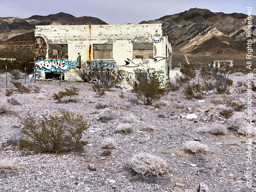
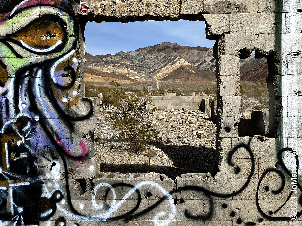
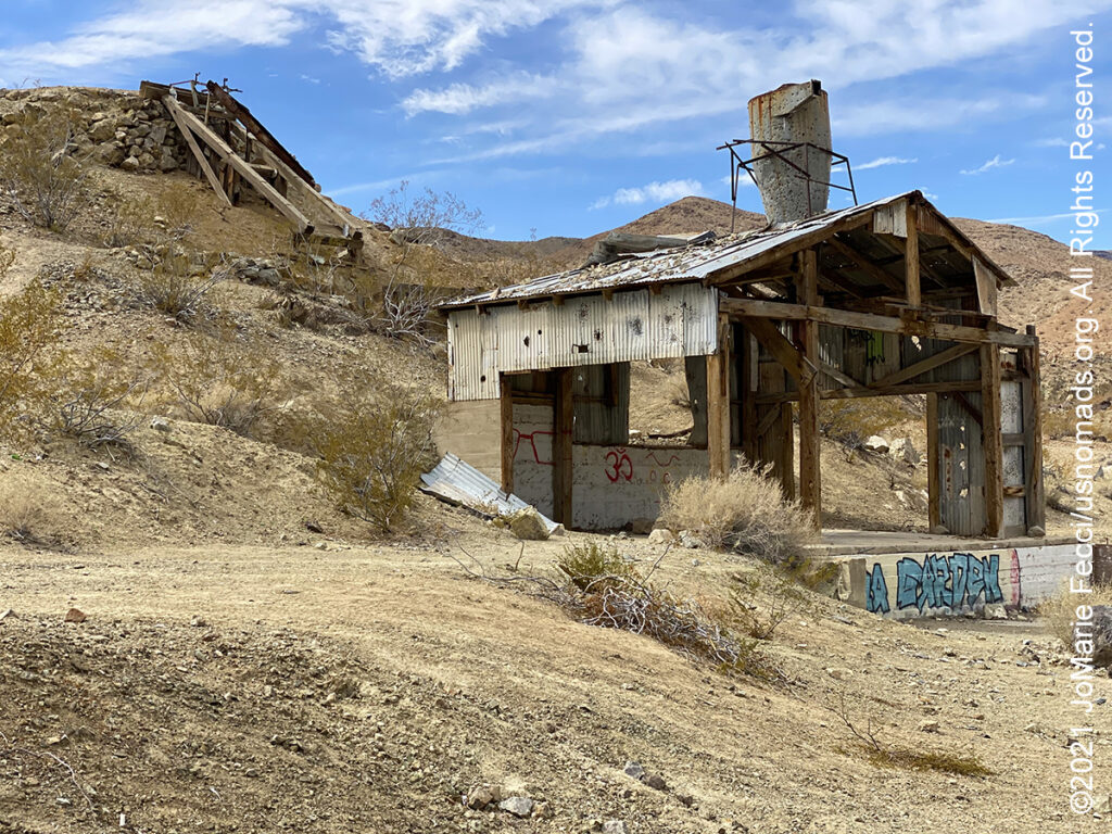
The Elizalde Cement Plant ruins are easily spotted when driving north on US 95 to Beatty, NV. The installation was built in the early 1940’s by the Carrara Portland Cement Company and was named for Angel M. Elizalde, the company’s principal investor. The cement factory was build at this remote spot because it was located less than a mile away from the Carrara quarry. Elizalde planned to produce a special high quality white cement made from crushed white marble and white clay from the quarry in addition to the standard Portland cement. However, before a single pound of concrete was produced, a fire engulfed the site destroying the machine shop, field office, and blacksmith shop. The site was rebuilt and machines were replaced, but by the start of WWII, increased fuel costs doomed the plant and the whole thing was simply abandoned.
Death Valley National Park is the largest national park outside of Alaska. Near the border of California and Nevada, in the Great Basin, east of the Sierra Nevada mountains, Death Valley is the principal feature of the Mojave and Colorado Deserts Biosphere Reserve. This desert valley is one of the hottest places in the world. It is a landscape of extremes. With over 3 million acres of federally designated Wilderness it is possible to walk along majestic sand dunes, navigate twisted slot canyons, climb rocky peaks and stroll along salt flats. The variety of terrains offer everything from easy to very challenging adventures. The Grapevine Mountains and the Owlshead Mountains form its northern and southern boundaries, respectively, and the valley sits between the Amargosa Range on the east and the Panamint Range on the west. Badwater Basin, at 282 feet below sea level, is the point of the lowest elevation in North America.
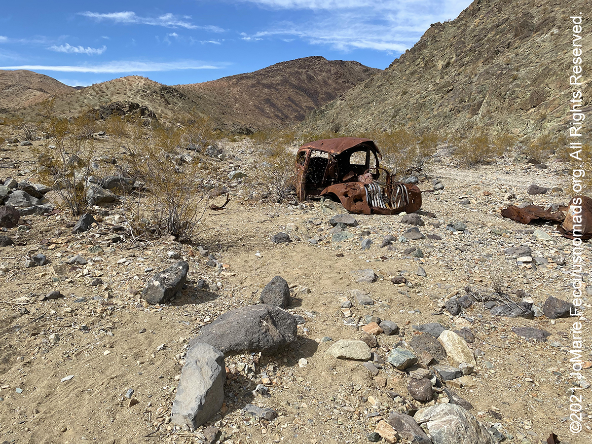
Darwin, a semi-ghosttown on the western outskirts of Death Valley, was once the largest city in the county. The settlement got its start in early 1860 when a prospecting expedition led by Dr. E. Darwin French set out from Visalia, California in search of the Lost Gunsight Mine. Exploring the rocky, dry landscape southeast of Owens Lake, French’s party never found the Lost Gunsight Mine, but they did discover rich silver outcrops and staked a number of claims. The settlement of Darwin was soon established and quickly developed into the main commercial center in the area. By the end of 1875, Darwin boasted two smelters, some 20 operating mines, a post office, graded streets, a drug store, hotel, three restaurants, a few saloons, a newspaper, 200 frame houses, and more than 700 residents. Because of its isolation, and distance from the county seat of Independence, gunplay, assaults, and stage robberies were common. Still, the town continued to grow, peaking at a population of about 3,500 in 1877. However, the following year a smallpox epidemic swept the community and a national economic slowdown hit Darwin hard. During the early 1900s, demand for copper reinvigorated the mining industry and by June 1919 the Darwin District, was again going strong. The mines remained in operation until the 1970s. Today, Darwin’s population is estimated at just about 50 people. On the hillside of Mt. Ophir, about ½ northwest of “downtown,” can still be seen the remains of the company camp, including decaying rows of company houses as well as Quonset huts and mill buildings. The mine is privately owned and not currently in operation. “No Trespassing” signs posted along the mine’s perimeter advise curious passerbys to stay off the property.